Getting around
Drive times
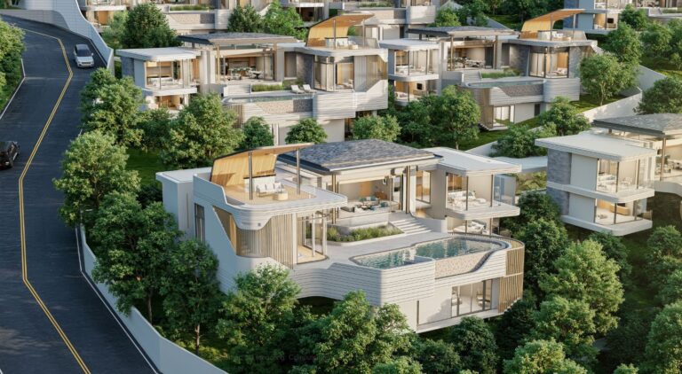
Getting around is straightforward by road. Phuket International Airport lies further north on the island; drive times to Kamala to confirm. Patong is a short hop south when you want shops or nightlife, and the coast road north links Kamala with Surin, Bang Tao and the Laguna area. App-based rides and taxis cover the same routes. Hillside homes above the bay are practical with a car or scooter.
| To | By car | Note |
|---|---|---|
| Kamala Beach / village | A few minutes | Longer from the hillsides |
| Patong | A short drive | South |
| Surin / Bang Tao / Laguna | A short drive | North |
| Phuket International Airport (HKT) | to confirm |
Character
Between Patong and Surin
Kamala sits on Phuket’s west coast, north of Patong and south of Surin. The bay faces the Andaman Sea, and the village behind the sand keeps a calmer rhythm than the larger resort centres nearby. Day-to-day life here leans toward the beach and a compact set of local shops, cafés and restaurants rather than a dense nightlife strip.
Green & outdoors
A long crescent of sand
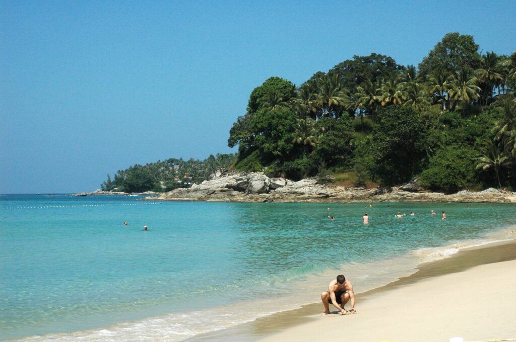
The beach itself is a long crescent of soft sand, good for swimming in the dry season when the water is usually calmer. Beachfront restaurants and simple watersports appear along parts of the shore, but the overall feel stays unhurried. A short way north, smaller coves and headlands break up the coastline; Surin and Bang Tao continue the west-coast string of beaches.
Golf
Further north
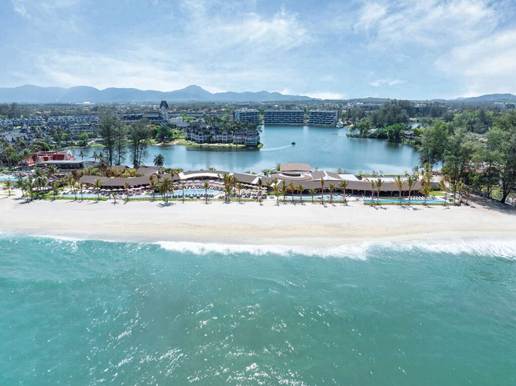
Kamala is not a golf-led address. Laguna and the courses behind Bang Tao sit further north along the same coast.
Schools
International schools
School options for this part of the west coast to confirm.
Everyday life
The village, then north or south
Everyday amenities — pharmacies, convenience stores, markets and a mix of Thai and international dining — sit around the village and the roads behind the beach. For a larger supermarket or a busier evening out, people typically head north toward Surin and Bang Tao or south toward Patong.